Satellites for Disaster Management: How Space Tech is Saving Lives
25 December 2025
Natural disasters are unpredictable, devastating, and often leave a trail of destruction in their wake. But what if we had eyes in the sky that could help mitigate their impact? That’s exactly what satellites do. These high-tech guardians orbiting above play a crucial role in disaster management—helping predict, monitor, and respond to disasters more effectively.
In this article, we’ll dive into how satellites are revolutionizing disaster management, the different types of satellites involved, and how they are making a life-saving difference on the ground.

How Satellites Help in Disaster Management
When disaster strikes, time is of the essence. Satellites provide real-time data that can help authorities respond faster, potentially saving lives. Here’s how they contribute:1. Early Warning Systems
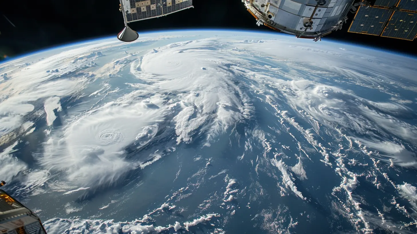
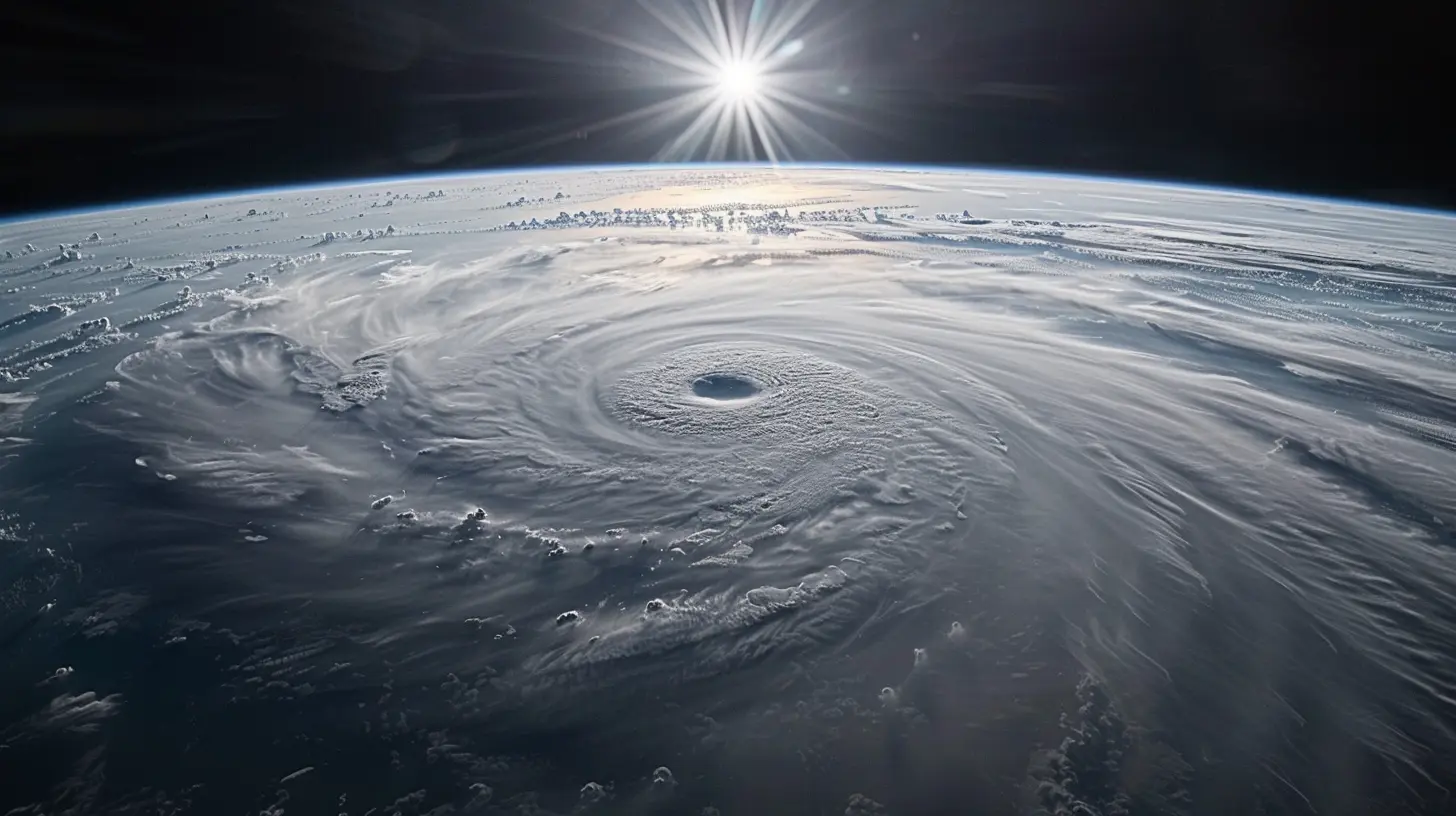
Wouldn’t it be great if we could predict disasters before they happen? While we can’t prevent them, satellites play a key role in forecasting.- Hurricanes & Typhoons: Satellites track storm systems, analyze their intensity, and predict their paths. This gives governments and communities a heads-up, allowing them to prepare.
- Earthquakes: While earthquakes can’t be predicted with precision, satellites measure ground deformations, which help scientists understand fault line movements.
- Tsunamis: Satellites track underwater earthquakes, which helps in issuing timely tsunami warnings before waves reach the shore.
Without satellites, we’d be relying solely on ground-based sensors, which might not always be accurate or timely.
2. Disaster Monitoring & Assessment
Once a disaster hits, assessing the damage becomes crucial. Satellites provide a bird’s-eye view of affected areas, helping responders understand the scale of destruction.- Floods: Satellite imagery detects water levels, showing which areas are submerged.
- Wildfires: Infrared satellite sensors detect heat, tracking how wildfires spread in real time.
- Landslides: High-resolution images reveal landslide-prone areas, helping emergency teams navigate hazardous zones.
This kind of immediate information ensures that resources are sent where they’re needed most.
3. Emergency Response & Relief Coordination
Imagine a flood that wipes out roads and cuts off entire communities. How would rescue teams know where to go first? Again, satellites come to the rescue.- Communication Satellites: When cellular networks fail, satellite phones and internet connectivity allow emergency responders to coordinate efforts.
- Navigation Satellites (GPS): Aid workers use satellite-based maps to find safe routes and deliver supplies efficiently.
- Damage Assessment: Governments rely on satellites to estimate losses and request international aid if necessary.
By providing real-time situational awareness, satellites help cut response times dramatically.
4. Post-Disaster Recovery & Rehabilitation
Even after the disaster subsides, the role of satellites isn’t over. They help in planning recovery efforts and rebuilding affected regions.- Mapping & Urban Planning: Satellite images assist in rebuilding infrastructure and planning disaster-resistant development.
- Monitoring Environmental Impact: Satellites track the long-term effects of disasters on forests, water bodies, and agricultural lands.
- Disease Outbreak Prevention: In flood-hit areas, satellites detect stagnant water bodies, which can become breeding grounds for diseases like malaria and dengue.
In short, satellites don’t just help in the moment—they contribute to the long-term healing process as well.
Types of Satellites Used in Disaster Management
Not all satellites serve the same purpose. Different types of satellites work together to create a complete disaster management system.1. Earth Observation Satellites
Earth Observation satellites like Landsat, Sentinel, and Suomi NPP provide high-resolution images of our planet’s surface. These images help track changes such as deforestation, flooding, and ice melting.2. Weather Satellites
Satellites like NOAA’s GOES and EUMETSAT’s Meteosat monitor atmospheric conditions, aiding in weather forecasting and storm tracking.3. Communication Satellites
When disasters knock out conventional communication networks, satellites like Iridium and Inmarsat provide emergency connectivity.4. Navigation Satellites (GPS, Galileo, GLONASS)
These satellites help rescue teams navigate safely and locate survivors using GPS-based tracking.5. Synthetic Aperture Radar (SAR) Satellites
Unlike optical satellites, SAR satellites like RADARSAT and TerraSAR-X work in all weather conditions, even during the night, making them crucial for emergency response during storms and cloud cover.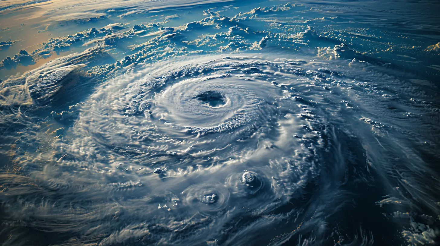
Real-World Examples of Satellites in Action
Satellites have already played a key role in some of the world’s deadliest disasters. Let’s look at a few examples:1. 2004 Indian Ocean Tsunami
The tsunami that struck in 2004 was one of the worst disasters in recent history. Thanks to satellites, governments worldwide were able to monitor the spread of the waves and coordinate relief efforts.2. Hurricane Katrina (2005)
During Hurricane Katrina, satellite imagery was crucial in identifying flooded areas and directing rescue teams to stranded survivors.3. Australia Bushfires (2019-2020)
Satellites detected the rapid spread of wildfires, helping firefighters strategize containment efforts. Infrared sensors were able to see flames even through thick smoke.4. Haiti Earthquake (2010)
After the devastating earthquake, satellites provided maps of the destruction, enabling relief agencies to deploy resources efficiently.These real-world cases prove that satellite technology isn’t just theoretical; it actively saves lives.
The Future of Satellites in Disaster Management
Satellite technology is constantly advancing, bringing even more sophisticated disaster management tools. Some innovations on the horizon include:1. AI & Machine Learning Integration
Artificial intelligence will help satellites analyze vast amounts of data in real time, improving disaster prediction accuracy.2. Small Satellites (CubeSats & Nanosats)
These cost-effective, rapidly deployable satellites will allow more countries and organizations to have their own disaster-monitoring systems.3. 5G and Satellite Communication
With the rise of 5G, satellite-based emergency communication will become even faster and more reliable.4. Real-Time Disaster Simulation Models
Future satellites will enable real-time simulation models that predict disaster impacts, giving emergency responders a virtual guide on how to react.Final Thoughts
Satellites have revolutionized disaster management, acting as silent sentinels watching over the planet. They provide critical early warnings, assess damage, and guide emergency responders—all of which ultimately save lives.With technology advancing at an unprecedented rate, the role of satellites in disaster management will only continue to expand. So, the next time you check the weather forecast or see relief efforts in action, remember: up there in space, satellites are working tirelessly to keep us safe.
all images in this post were generated using AI tools
Category:
Space TechnologyAuthor:

Ugo Coleman
Discussion
rate this article
2 comments
Eli Harper
Fascinating! Space tech truly transforms disaster response efforts!
January 21, 2026 at 5:07 AM
Ugo Coleman
Thank you! It’s incredible how space technology enhances our ability to respond to disasters effectively.
Bryson McDonough
This article beautifully highlights the critical role satellites play in disaster management. It’s inspiring to see how space technology can enhance our response to emergencies and ultimately save lives. Thank you for shedding light on such an important topic that blends innovation with humanitarian efforts.
January 14, 2026 at 12:23 PM
Ugo Coleman
Thank you for your kind words! I'm glad you found the article informative and inspiring. Satellites truly are vital in enhancing disaster response and saving lives.