How Space Technology is Improving Global Navigation Systems
20 July 2026
Let’s be honest—most of us rely on GPS to navigate through daily life. Whether you're finding the fastest route to work, tracking a food delivery, or pinning your location for a friend, it’s all powered by satellites orbiting thousands of kilometers above us. But have you ever stopped to wonder how space technology is constantly upgrading the very tools we use every day for navigation?
In this article, we’ll break down how advanced space tech is transforming global navigation systems—not in some futuristic way, but in real, tangible ways happening right now.
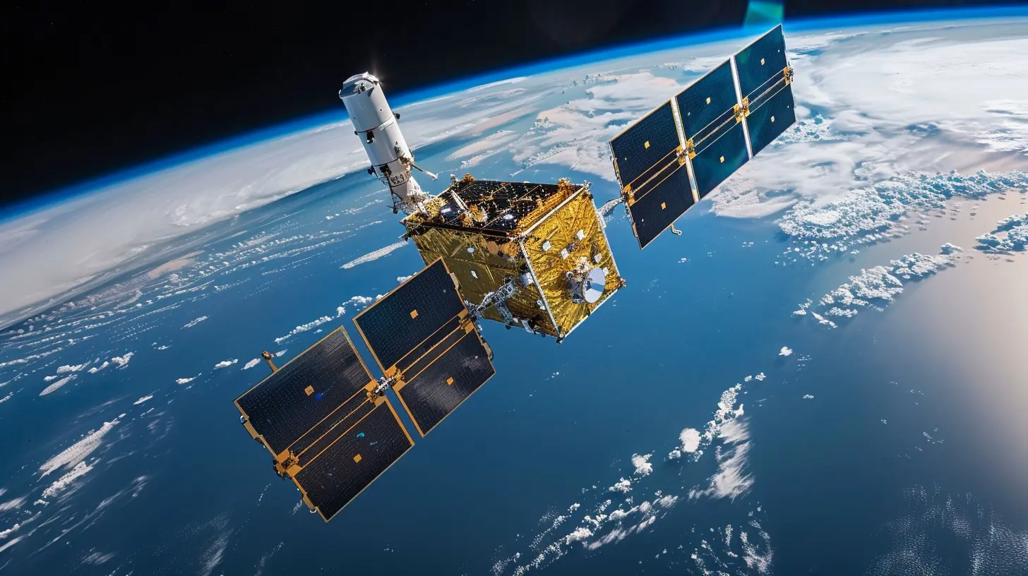
What Are Global Navigation Satellite Systems (GNSS)?
First thing’s first, let’s get a grip on what GNSS is all about. GNSS stands for Global Navigation Satellite System. It's a broad term that includes satellite systems like GPS (USA), GLONASS (Russia), Galileo (EU), and BeiDou (China). These satellite constellations work together to give us pinpoint location data anywhere on Earth.But this isn’t just for directions on your phone. GNSS is used in aviation, shipping, agriculture, disaster relief, and even stock trading. Yeah, it’s that important.

So, How Does Space Tech Fit Into All Of This?
Glad you asked. Space technology is the backbone of GNSS. It’s not just about the satellites themselves, but also the rockets that launch them, the sensors that control them, and the software that makes sense of all that data.With advancements in communication, AI, and hardware, space tech is making navigation systems smarter, faster, and way more accurate.
Let’s break it down.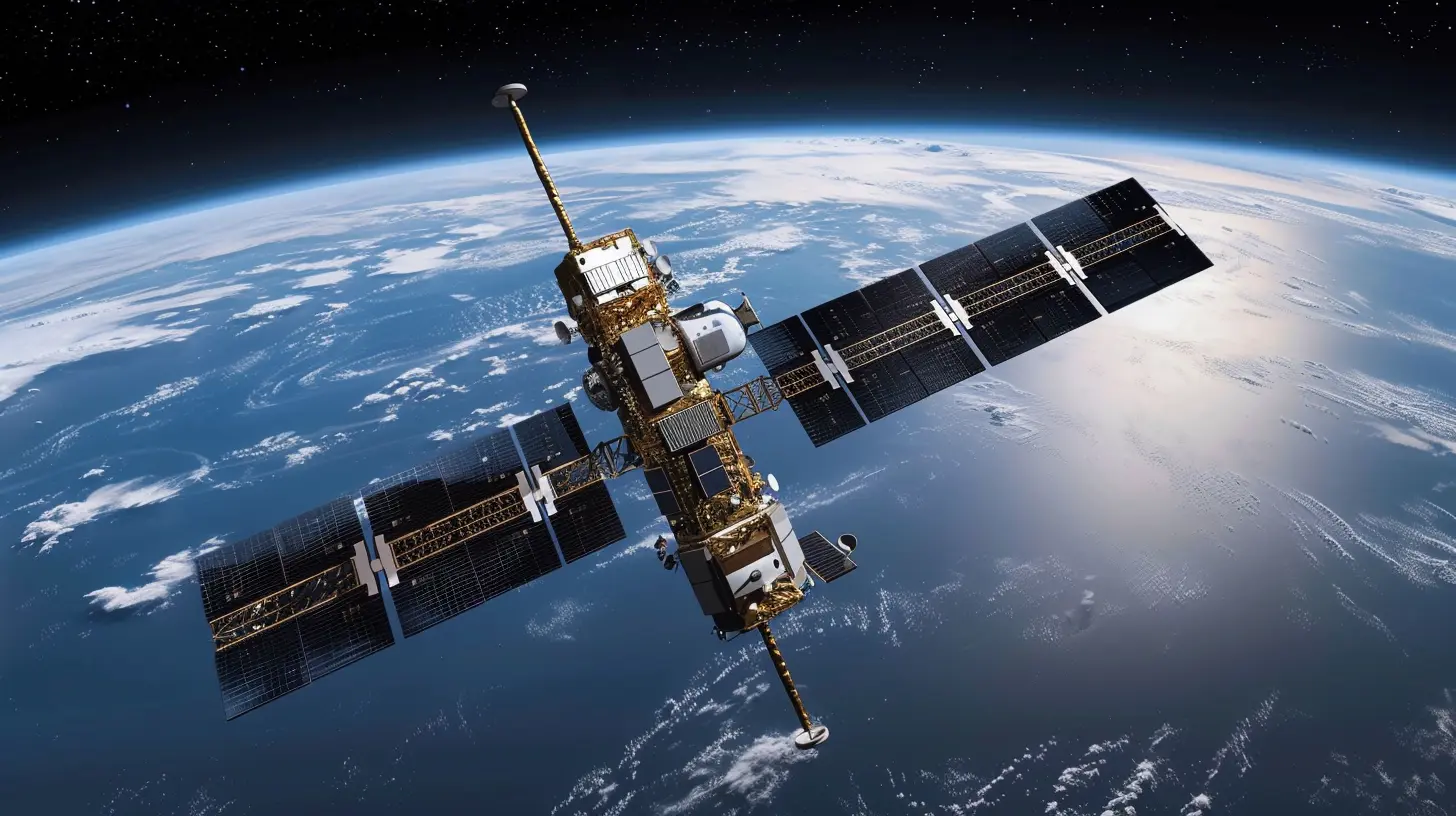
1. Smarter Satellites Are On The Rise
The new generation of satellites is like the smartphone upgrade you never knew you needed. Instead of sending out just basic signals, modern satellites can communicate with each other, update themselves remotely, and even adjust their paths based on changing conditions in space.These upgrades allow for:
- Faster data transmission
- Real-time corrections
- Higher resolution signals
And you know what that means? Your phone’s navigation becomes more accurate, even when you’re in a dense urban area or a remote countryside.
Example? Think Autonomous Vehicles
Self-driving cars need centimeter-level accuracy. Older GPS systems aren’t good enough. But with space tech enabling High Precision GNSS (HP-GNSS), we’re now looking at location accuracy that can guide cars through complex environments without human help.
2. Launch Technology Is More Efficient
Remember the days when sending a satellite into space was a rare event costing hundreds of millions? Well, not anymore. Thanks to reusable rockets and smarter payload systems, companies like SpaceX and Rocket Lab have revolutionized space launches.This means:
- More satellites launched more often
- Reduced costs for GNSS providers
- Faster deployment of next-gen navigation satellites
By cutting launch costs and increasing frequency, space agencies can roll out satellite updates and maintenance more regularly, keeping the entire navigation system fresh and reliable.
3. Improved Signal Accuracy and Coverage
Lost your GPS signal in a tunnel or between skyscrapers? You’re not alone.New navigation satellites now use dual-frequency signals, which penetrate obstacles better and correct atmospheric distortions. Even better, the newer systems integrate multiple satellite constellations. Your device isn’t just listening to GPS—it’s tapping into Galileo, BeiDou, and others.
This multi-constellation support leads to:
- Faster location locks
- Better coverage in difficult conditions
- Reduced positioning errors
Say goodbye to map lags and spinning location markers.
4. AI and Machine Learning Are Enhancing Navigation Data
Space technology isn’t just about hardware anymore—it’s also about data science. With AI algorithms running onboard satellites and ground stations, we can analyze the enormous data streams in real time.These smart systems:
- Predict and correct satellite orbit errors
- Monitor space weather impacts on signals
- Improve geo-location accuracy using trend analysis
Think of it as putting your navigation system on steroids. It becomes adaptive, self-healing, and predictive.
5. Space-Based Augmentation Systems (SBAS)
Have you heard of SBAS? Probably not, but it’s one of the quiet heroes in navigation.SBAS is like an extra layer of GPS accuracy, made possible by space tech. It uses geostationary satellites to send out corrections to GPS receivers in real-time.
In aviation, SBAS is a game changer. It allows for precision landings even in poor visibility without expensive ground-based equipment. And now, it's rolling out into maritime systems and agriculture too.
In short: space is cleaning up the mess that Earth’s atmosphere makes of GPS signals.
6. Space Debris Management Helps Navigation
Bet you didn’t think old satellites could mess with your Google Maps, huh?Space debris is a real and growing threat. Collisions or interference with navigation satellites can degrade or even disrupt signal availability. But thanks to advanced tracking systems in space, we’re getting better at avoiding these hazards.
Autonomous collision avoidance systems and space situational awareness tech mean that GNSS satellites can dodge trouble before it starts.
Fewer disruptions = smoother navigation for all of us.
7. Real-Time Global Monitoring
With satellites circling the globe 24/7, we now have the ability to track changes on Earth in near real-time. This is especially useful in emergency and disaster response.Imagine a massive earthquake that wipes out local infrastructure. GNSS supported by space tech can:
- Restore location services quickly
- Guide rescue teams accurately
- Coordinate aid deliveries efficiently
The same applies to natural events like floods, wildfires, or volcanic eruptions. In these critical moments, navigation systems powered by space give humanity an edge.
8. Agricultural and Industrial Applications
Farmers are using GNSS for precision planting, fertilizing, and harvesting—saving time, money, and resources. Mining and oil industries use location data to optimize operations and minimize risks.None of this would be possible without the pinpoint accuracy enabled by space-borne tech.
And we’re only scratching the surface.
9. Enhanced Security and Anti-Spoofing
Let’s face it—there’s always someone trying to mess with the system.Spoofing GNSS signals is a major threat with real-world consequences, from hijacked ships to hacked drones. To fight this, new satellites come equipped with encrypted signals and anti-jamming tech.
Military-grade security features are now becoming available for civilian uses too, thanks to better hardware and space-based monitoring.
Translation? More reliable and tamper-proof navigation tools in our hands.
10. The Future: Quantum Navigation and Interplanetary GNSS?
Believe it or not, scientists are working on GNSS systems that aren’t even Earth-bound.We’re talking about space-based navigation for lunar missions, Mars rovers, and maybe one day—interplanetary travel. Technologies like quantum clocks, laser-based communication, and deep-space tracking are all being tested today.
This future tech may seem like science fiction for now, but they are laying the groundwork for the next generation of super-accurate, universal navigation systems.
Bringing It All Together
Space technology is shaking up the world of navigation in ways that go far beyond telling you where the nearest coffee shop is. By enhancing satellite performance, increasing coverage, improving signal accuracy, and integrating smart tech like AI, the global navigation systems we rely on are becoming stronger, faster, and more resilient.From self-driving cars to safer air travel and better emergency response—space is literally helping us find our place in the world, and it’s only getting better.
So next time your GPS saves you from getting lost, don’t just thank your phone—thank the stars.
all images in this post were generated using AI tools
Category:
Space TechnologyAuthor:

Ugo Coleman
Discussion
rate this article
1 comments
Phaedra Duke
Great insights on navigation and space tech advancements!
July 20, 2026 at 2:36 AM
Ugo Coleman
Thanks for your feedback! I'm glad you found the insights valuable.