The Role of Space Technology in Climate Change Monitoring
29 July 2026
We all know that climate change is one of the most pressing issues facing our planet today. Rising sea levels, increasing temperatures, and more frequent natural disasters are just a few signs of the environmental shifts happening around us. But how do we track these changes, especially when they span the entire globe? The answer might surprise you: space technology. Yep, that's right! Satellites and other space-based tools are playing an essential role in climate change monitoring and helping us understand how our planet is evolving.
So, let’s dive into this fascinating topic and explore how space technology is becoming our eyes in the sky when it comes to climate change.
What Is Space Technology?
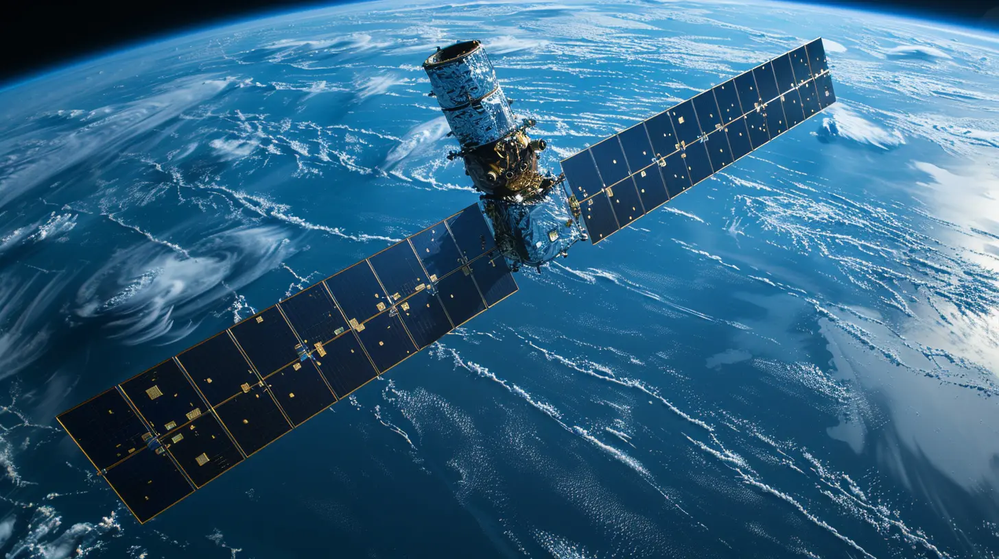
Before we get into the nitty-gritty, let’s take a second to clarify what we mean by "space technology." Essentially, it refers to the various tools, systems, and technologies that are used to explore or monitor space. This could be anything from satellites orbiting the Earth to telescopes peering deep into the cosmos. But for the purpose of climate monitoring, we’re primarily focusing on satellites and other Earth-observing equipment.Space technology allows scientists to gather massive amounts of data that would be impossible to collect from the ground alone. Think of it like having a bird's-eye view of the Earth—only this bird is flying 300 miles above the planet!
Why Do We Need Space Technology for Climate Monitoring?
You might be wondering: "Can’t we just measure climate change from the ground?" Well, yes and no. Ground-based measurements are important, but they have limitations. For starters, they’re localized, meaning they can only tell us what’s happening in specific spots. If we want to understand climate change on a global scale, we need a more comprehensive view. That’s where space technology comes in.Satellites can cover the entire planet and continuously monitor changes in real-time. They don’t just give us snapshots; they provide a constant stream of data that can be analyzed to spot trends, make predictions, and ultimately, guide policy decisions. In short, space technology gives us the big picture.
How Satellites Help Monitor Climate Change
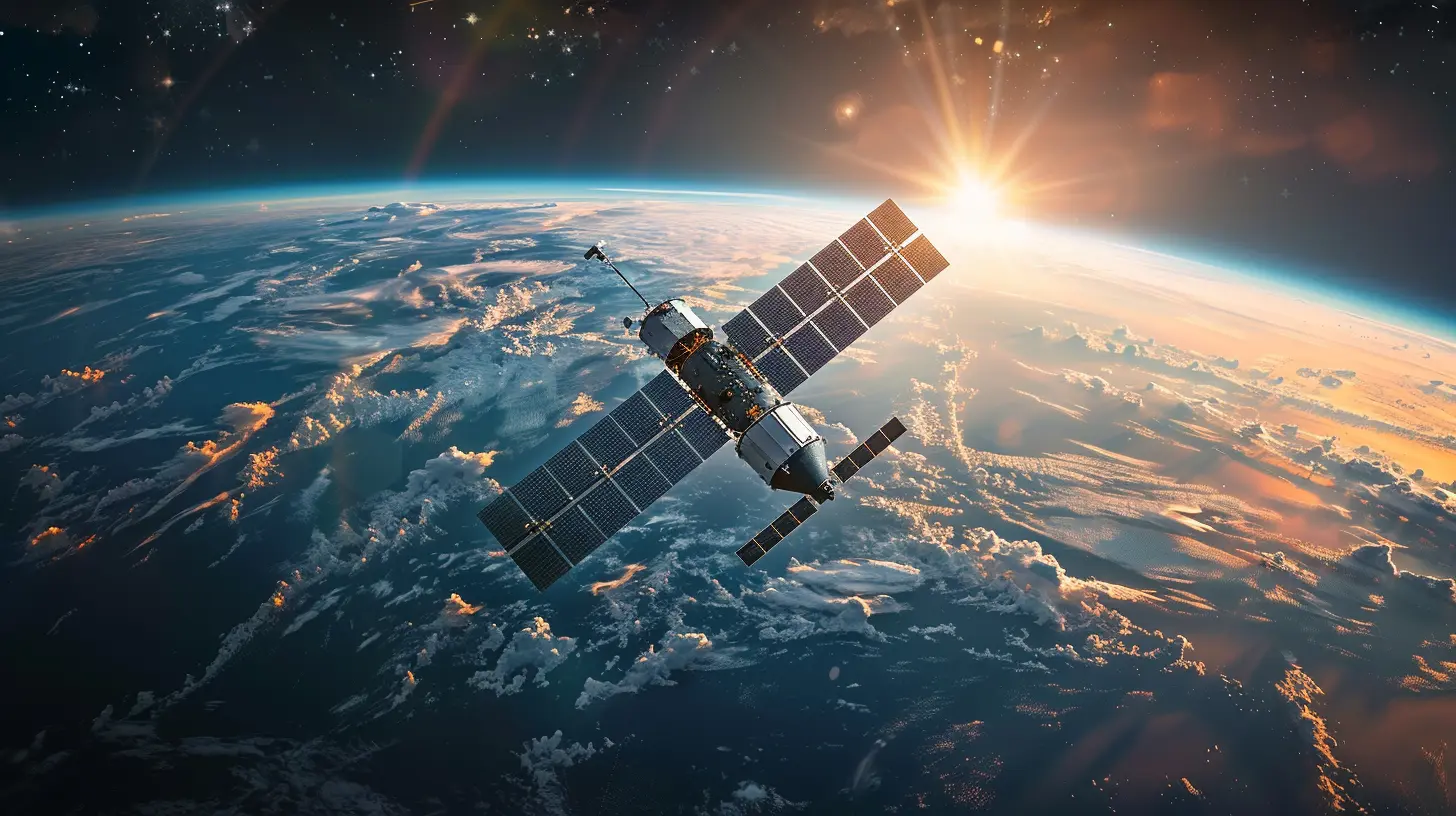
Satellites have been orbiting Earth for decades, but their role in climate change monitoring has grown significantly in recent years. From tracking deforestation to measuring ice melt, satellites have become indispensable tools in the fight against climate change. Here’s how they’re making a difference:1. Tracking Global Temperature Changes
One of the most direct ways satellites contribute to climate change monitoring is by tracking global temperatures. By measuring the Earth’s surface temperature from space, scientists can see how quickly things are heating up.Ever heard the phrase "global warming"? Well, it’s not just a buzzword. Satellites use infrared sensors to measure heat radiating from the Earth’s surface, and the data they collect shows a clear upward trend in global temperatures over the past few decades. This info is crucial for climate models, which help us predict future warming and its potential impacts.
2. Monitoring Ice Cap Melting
The polar ice caps are often considered the "canary in the coal mine" when it comes to climate change. Their melting is one of the most visible signs that our planet is warming. But tracking ice loss in remote areas like Antarctica or Greenland isn’t easy. That’s where satellites come in handy.Satellites equipped with radar and laser altimeters can measure the elevation of ice sheets and glaciers, providing detailed information on how much ice is melting and at what rate. This data is crucial for understanding sea-level rise, which could have catastrophic effects on coastal communities in the future.
3. Observing Sea-Level Rise
Speaking of sea levels, satellites are also key players in tracking how much the oceans are rising. Using radar altimeters, satellites can measure the height of the ocean surface with incredible precision.Why does this matter? Rising sea levels pose a significant threat to millions of people living in coastal areas. It can lead to increased flooding, erosion, and even displacement of entire communities. By keeping tabs on how quickly sea levels are rising, we can better prepare for these challenges.
4. Measuring Greenhouse Gases
Greenhouse gases, like carbon dioxide (CO2) and methane, trap heat in the Earth’s atmosphere and are major contributors to global warming. But how do we know how much of these gases are in the atmosphere? You guessed it—satellites!Specialized satellites, like NASA’s Orbiting Carbon Observatory-2 (OCO-2), are designed to measure the concentration of greenhouse gases in the atmosphere. This data helps scientists track where emissions are coming from and how they’re changing over time. It also provides insight into how natural systems, like forests and oceans, are absorbing CO2.
5. Monitoring Deforestation and Land Use
Forests play a critical role in absorbing CO2, but deforestation is reducing their ability to act as carbon sinks. Satellites can monitor land use changes, including deforestation, on a global scale. This information is vital for understanding how human activities are affecting the planet’s carbon balance.For example, satellites can detect changes in forest cover, track illegal logging activities, and even help assess the health of forests. This data is invaluable for conservation efforts and for developing strategies to combat deforestation.
6. Tracking Extreme Weather Events
Let’s face it: extreme weather events like hurricanes, droughts, and wildfires are becoming more frequent and intense. And guess what? Satellites are helping us track these events in real-time.By monitoring atmospheric conditions and sea surface temperatures, satellites can provide early warnings for extreme weather events. This info is crucial for disaster preparedness and can help save lives. Plus, by studying how these events are changing over time, scientists can better understand the links between climate change and extreme weather.
The Benefits of Space Technology in Climate Research
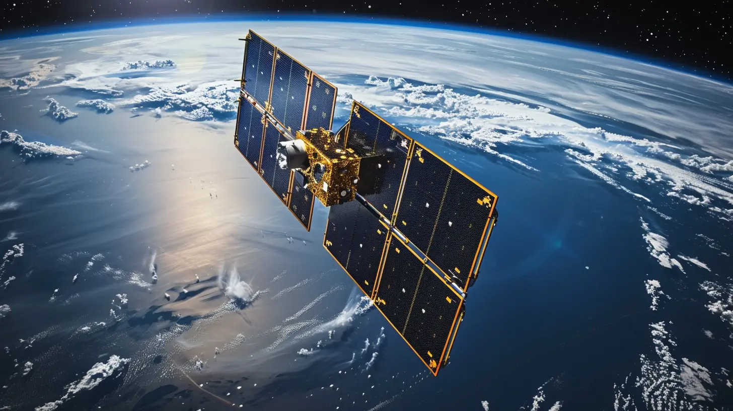
At this point, it’s clear that space technology is a game-changer when it comes to climate change monitoring. But what are the specific benefits of using satellites and other space-based tools for this purpose? Let’s break it down:1. Global Coverage
One of the most significant advantages of space technology is that it allows us to monitor the entire planet. While ground-based sensors can only collect data from specific regions, satellites provide global coverage. This is especially important when it comes to tracking phenomena like sea-level rise or ice cap melting, which can’t be fully understood without a worldwide view.2. Real-Time Data
Satellites can provide real-time data, allowing scientists to monitor changes as they happen. This is particularly useful for tracking extreme weather events or sudden shifts in environmental conditions, such as a rapid ice melt. Having access to real-time information enables quicker responses and more effective decision-making.3. Long-Term Monitoring
Climate change is a slow process, and detecting long-term trends requires years—sometimes decades—of data. Satellites have been collecting information for decades, allowing scientists to analyze long-term trends and make more accurate predictions about the future.4. Precision and Accuracy
Modern satellites are equipped with incredibly precise instruments that can measure everything from sea surface heights to atmospheric gas concentrations with astonishing accuracy. This level of precision is essential for creating reliable climate models and forecasts.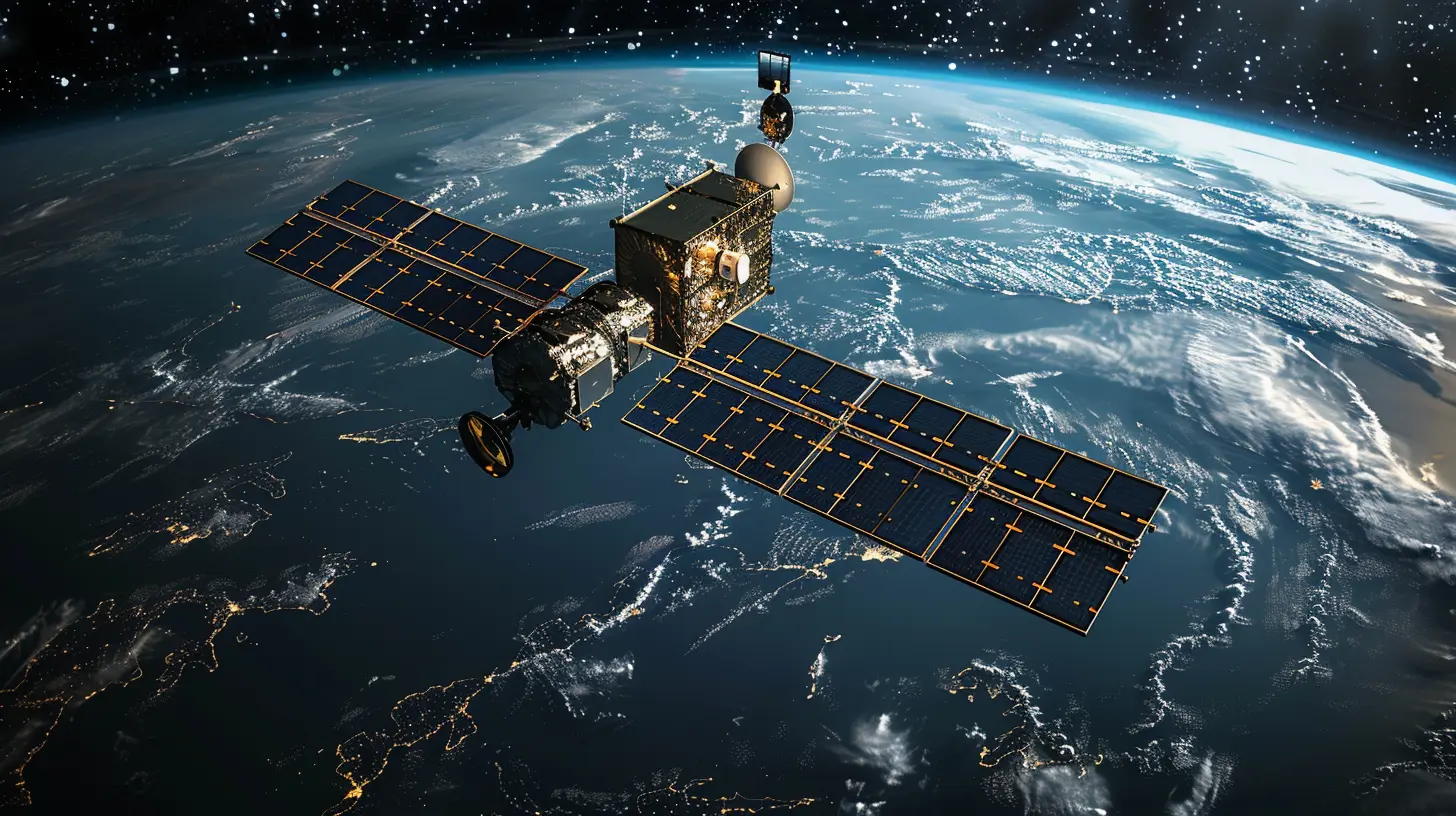
Challenges and Limitations
While space technology has revolutionized climate change monitoring, it's not without its challenges. For instance, satellites are expensive to build and launch, and maintaining them in orbit requires significant resources. Additionally, interpreting the vast amounts of data they generate can be tricky. It takes a lot of expertise and computing power to sift through the noise and extract meaningful information.There’s also the issue of satellite lifespan. Satellites don’t last forever, and once they stop working, they need to be replaced. This constant cycle of launching new satellites and decommissioning old ones adds another layer of complexity.
The Future of Space Technology in Climate Change Monitoring
Despite these challenges, the future looks bright. As technology continues to advance, we’re likely to see even more sophisticated satellites and sensors that can provide even more detailed data about our planet’s climate. For example, new missions are already being planned that will focus on more precise measurements of greenhouse gases, sea ice thickness, and cloud cover.Moreover, the growing field of small satellites (or "smallsats") offers a cheaper and more flexible alternative to traditional large satellites. These mini-satellites can be launched in groups (known as constellations) and used to collect data from multiple points around the globe simultaneously.
There’s also significant potential for collaboration between different countries and organizations. Climate change is a global issue, and by pooling resources and expertise, we can improve our ability to monitor and combat it.
Conclusion
Space technology has become an indispensable tool in the fight against climate change. From tracking global temperatures to monitoring ice melt, satellites provide us with the crucial data we need to understand and address the challenges posed by a warming planet. While there are challenges and limitations, the benefits far outweigh the drawbacks, and the future of space technology in climate monitoring looks promising.As the climate crisis continues to unfold, space technology will play an ever-more crucial role—acting as our eyes in the sky, guiding policy decisions, and helping us navigate the uncertainties ahead.
all images in this post were generated using AI tools
Category:
Space TechnologyAuthor:

Ugo Coleman